Published on November 20, 2026



 Pro
Preet Pandya
Today 06:55

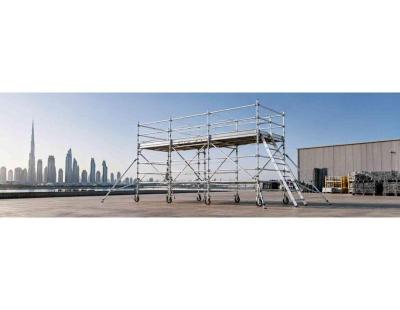
 scaffolding Company
Today 06:43
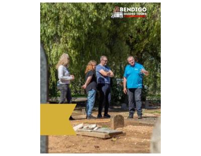
 Bendigo Guided Tours
Today 06:32
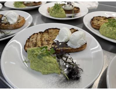
 jleee46
Today 06:31
 MDIS
Today 06:31
 traneqatar
Today 06:31
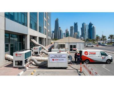 traneqatar
Today 06:27
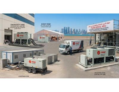 traneqatar
Today 06:24
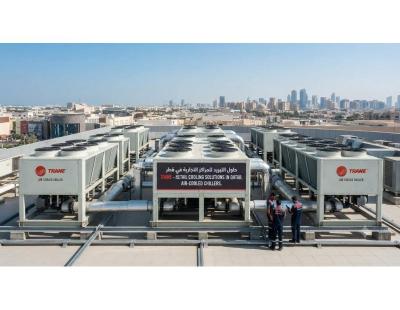 jleee46
Today 06:17
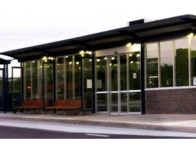 pankajch
Today 06:07
 Estell Boutique
Today 06:07
 Himani
Today 05:25
 Firsky India
Today 05:21
 jleee46
Today 05:18
 traffsite
Today 05:13
 Taxi Service Melbourne
Today 04:52
 rejali7584
Today 04:47
 lunagrace
Today 04:15
 dineshkumar
Today 04:06

 Pro
GD Recruitment
Today 04:04
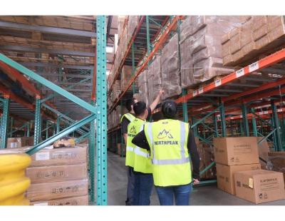
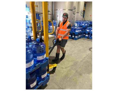 North Peak Logistics
Today 04:02
 jennifer bennett
Today 03:53
 Techpratham
Today 03:50
 williamslandingbloom
Today 03:16
 traneqatar
Today 06:27
astrositaram
1 year
 Taxi Service Melbourne
Today 04:52
traffsite
Today 05:13
jleee46
Today 05:18